The Rockaway Peninsula offers plenty of sights for urban explorers and historians with its alleys, old buildings, the fort at its tip, and numerous inlets on the side facing Jamaica Bay. Until recently I did not know that the Rockaways had its its own internal waterway.

Wavecrest Lake existed at the turn of the 20th century, surrounded by mansions and summer homes of the rich at a time when the peninsula served as the city’s seaside retreat.
Where it Flowed

On the 1901 G. W. Bromley map, we see the hourglass-shaped lake ringed by winding streets reminiscent of Forest Hills Gardens, Fieldston, and other “garden” communities of that period. John Street on this map is today’s Elk Drive and on the far right, Central Avenue was given the number Beach 20th Street while keeping its old name further north.
The neighborhood’s name was coined by developer John Haven Cheever, who transformed the Clark estate into a gated community for the wealthy.
The lake disappeared between 1909 and 1912, based on historical maps from each year. The 1909 map shows the pond, and nearby Wavecrest Creek that fed into Norton Creek. Similar to Wavecrest is the development of Elton Park with its layout of winding streets. The 1912 map of this area shows the site of the pond developed with homes and small tracts encroaching on once-sizable mansion properties.

Looking east on Deerfield Road, which runs atop the pond site, the terrain is flat and there are no hints of the waterway that used to be here.
The Nearest Park
As I’ve done with the former Backus’ Pond, when there is no open space on the site of the waterway, I take readers to the nearest park.

A block to the north of the former Wavecrest Lake is the 1.24-acre Grassmere Playground, which the city developed in 1955 in tandem with the elementary school P.S. 215.
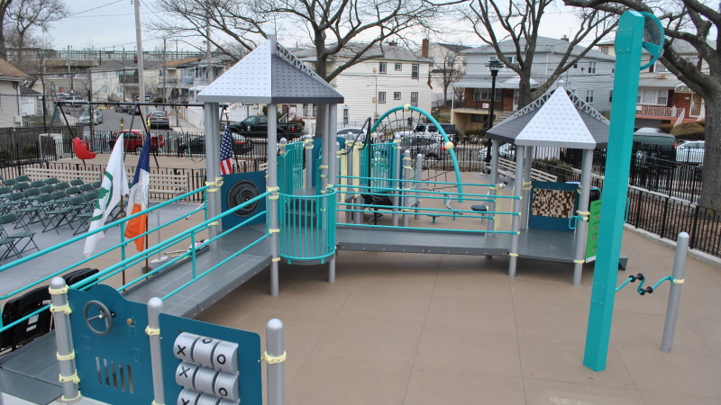
In early 2018 this park was transformed from a paved schoolyard into a much greener space with updated play equipment and wooded edges along its boundaries. The green elements here include rain gardens, permeable pavers, and on-site stormwater infiltration.
Learn More:
Earlier this week I wrote a photo essay on the history of Wavecrest and Edgemere on Forgotten-NY.
In the News:
Untapped Cities profiles the outdoor art of NYC for fall 2020, which includes a few shoreline examples across the city.
Brooklyn Paper reports on the introduction of an oyster nursery at Brooklyn Bridge Park.

Please tell me more about the plans to connect Norton Basin with the Far Rockaway Inlet. It is suspected that once the existing East Rockaway Inlet was created, the plans ended, but there may be more to the story than that.
LikeLike
The inlet existed well into the 20th Century; a creek that ran from the ocean to the bay. Beach Channel Drive, as well as the LIRR had small bridges over it. On the bay end the creek was later bulkheaded. Photos of the bulkhead construction survive in the NYC Archives. The rest of the creek was filled with sand.
LikeLike
Thanks for your response. Can you tell me how the eastern and western boundary lines of Far Rockaway were determined when it became a village in about 1888?
LikeLike
For that you might have better luck in checking with the Town of Hempstead. In 1888, all of Rockaway was still part of the town of Hempstead, which is part of Nassau County.
LikeLike
Thanks for your response. The western boundary of Far Rockaway is complicated since in 1899 it was to become the boundary between Nassau and Queens. Keep in mind that when Lawrence was incorporated, its eastern boundary was affected at first when Queens became part of New York City. Then a short time later the existing boundary was determined. It was later slightly modified in about 1927 when land in Far Rockaway was given to Lawrence to enable the approach road to the Atlantic Beach bridge that was to be constructed to be entirely in Nassau County.
LikeLike
This explains why the area centered around the intersection of Collier Avenue and Briar Place floods all the time. That area has always been known for flooding. Makes sense that it was formerly a lake. Filling in natural ponds and lakes are a mistake.
LikeLike
This also explains why the area centered around Beach 35th Street/Seagirt Boulevard/Beach Channel drive also floods heavily at times as well, because it is filled-in land. Should have built a bridge over the inlet.
LikeLike